ShelS Company offers complete software solutions for geo-information technology tasks and registration systems, and provides professional services for the development of cartographic and surveying programs, web sites and applications, their technical support. The professional team of developers will reduce the time to perform the development of new software products or the adaptation of existing customer's needs.
ShelS Company develops complete solutions in the field of geo-information technology and registration systems.
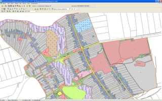
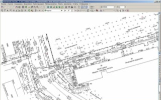
ShelS Company performs development, software performance for surveying, planning, cadastre works.
25006, Ukraine, Kropivnitskiy
+380 (50) 598-50-40
info@shels.ua
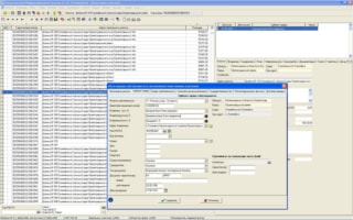
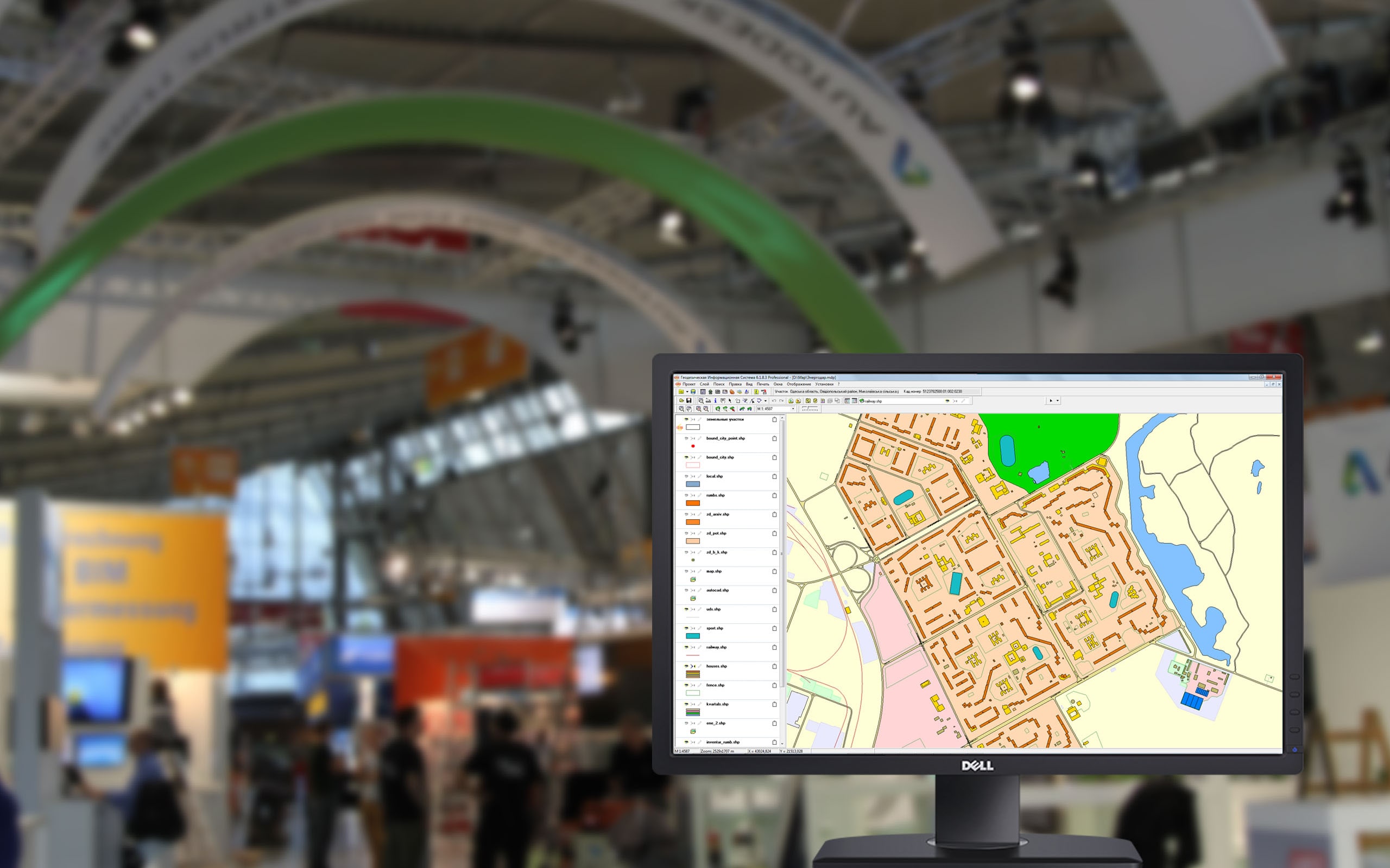
GIS 6 allows you to perform complex tasks of office work to the formation of the technical documentation and file sharing.
An integrated approach to the execution of works
Operational program support
The ability to export and import data
Flexibility and scalability of the database
The possibility of formation of unique queries to the database
Many ready-made templates of the reporting forms
Shells company performs development, support and sales of software for performance of geodetic, engineering, cadastre and mapping and assessment work.
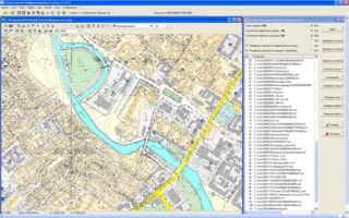
Shells Company developed a number of web-based solutions, allows you to integrate corporate offices and create online resources.
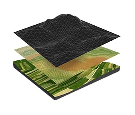
We offer services for the collection, processing, analysis of geospatial information and its storage and visualization of geo-information portal on the company.
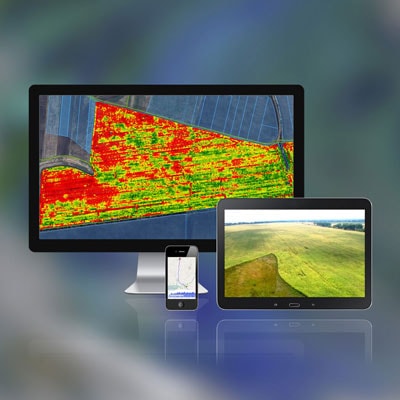
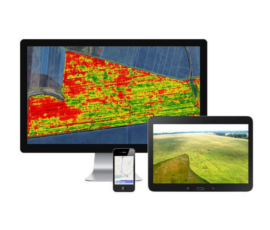
We offer services in application of precision farming both in software and in hardware.
This service allows you to upload objects, images from drones and satellites, provides opportunities for solving spatial problems of agricultural enterprises, precision farming and yield monitoring.
collection of all available spatial data
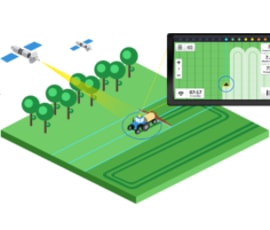
import data from the engineering equipment
territories and terrain analysis
GPS navigation with synchronized video display